
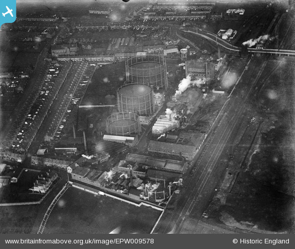
EPW009578 ENGLAND (1923). The Gas Works, Upper Edmonton, 1923
© Copyright OpenStreetMap contributors and licensed by the OpenStreetMap Foundation. 2024. Cartography is licensed as CC BY-SA.
Nearby Images (9)
EPW009578

EPW044762

EPW044767

EPW044763

EPW044764

EPW044765

EPW044766

EPW032040

EPW042087

Details
| Title | [EPW009578] The Gas Works, Upper Edmonton, 1923 |
| Reference | EPW009578 |
| Date | 1923 |
| Link | |
| Place name | UPPER EDMONTON |
| Parish | |
| District | |
| Country | ENGLAND |
| Easting / Northing | 534996, 191890 |
| Longitude / Latitude | -0.050235727378871, 51.609166670729 |
| National Grid Reference | TQ350919 |
Pins
Be the first to add a comment to this image!


