
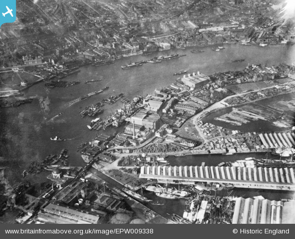
EPW009338 ENGLAND (1923). Bellemy's Wharf, Rotherhithe, 1923. This image has been produced from a print.
© Copyright OpenStreetMap contributors and licensed by the OpenStreetMap Foundation. 2024. Cartography is licensed as CC BY-SA.
Nearby Images (12)
EPW009338

EPW009114

EPW009340

EPW009099

EPW009339

EAW045699

EAW045703

EAW045702

EAW045698

EAW045700

EAW045701

EAW045704

Details
| Title | [EPW009338] Bellemy's Wharf, Rotherhithe, 1923. This image has been produced from a print. |
| Reference | EPW009338 |
| Date | 1923 |
| Link | |
| Place name | ROTHERHITHE |
| Parish | |
| District | |
| Country | ENGLAND |
| Easting / Northing | 535748, 180322 |
| Longitude / Latitude | -0.043847977465039, 51.505022350699 |
| National Grid Reference | TQ357803 |
Pins
Be the first to add a comment to this image!


