
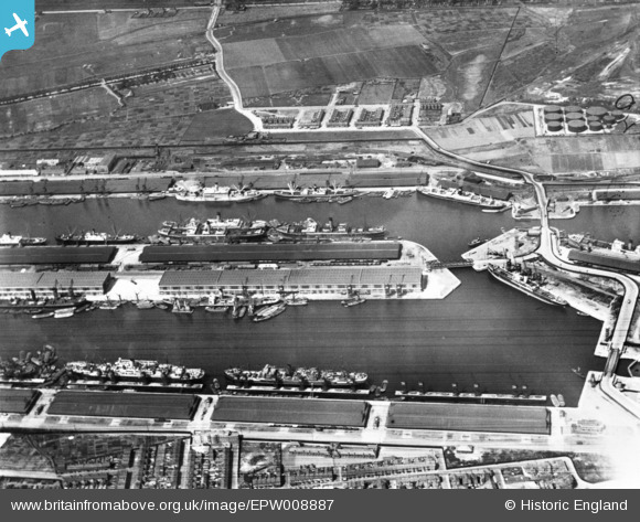
EPW008887 ENGLAND (1923). King George V Dock and the Royal Albert Dock, North Woolwich, 1923. This image has been produced from a print.
© Copyright OpenStreetMap contributors and licensed by the OpenStreetMap Foundation. 2024. Cartography is licensed as CC BY-SA.
Nearby Images (24)
EPW008887

EPW032935

EAW008723

EAW005290

EAW008722

EPW008885

EAW016657

EAW022357

EAW008724

EPW032936

EAW049351

EAW000051

EAW008728

EAW014133

EPW010727

EAW008726

EAW008725

EAW000057

EAW000058

EAW005289

EAW022358

EAW021703

EPW032937

EAW000054

Details
| Title | [EPW008887] King George V Dock and the Royal Albert Dock, North Woolwich, 1923. This image has been produced from a print. |
| Reference | EPW008887 |
| Date | July-1923 |
| Link | |
| Place name | NORTH WOOLWICH |
| Parish | |
| District | |
| Country | ENGLAND |
| Easting / Northing | 543440, 180523 |
| Longitude / Latitude | 0.067001322179665, 51.504928441206 |
| National Grid Reference | TQ434805 |
Pins
Be the first to add a comment to this image!


