
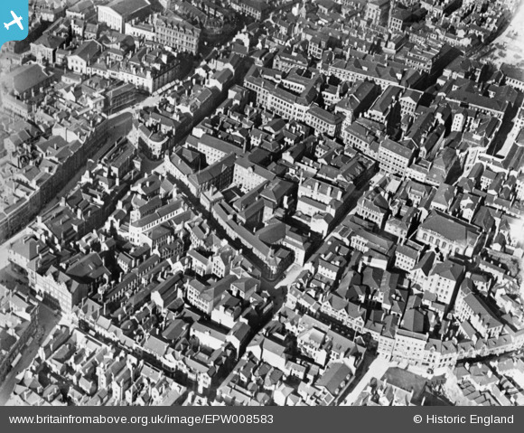
EPW008583 ENGLAND (1923). The Lace Market area, Nottingham, 1923. This image has been produced from a copy-negative.
© Copyright OpenStreetMap contributors and licensed by the OpenStreetMap Foundation. 2024. Cartography is licensed as CC BY-SA.
Nearby Images (25)
EPW008583

EPW008491

EPW054989

EPW008492

EPW008490

EPW008489

EPW008488

EPW008493

EPW047468

EAW021697

EPW008487

EPW028001

EPW028871

EAW042516

EPW028869

EPW021793

EPW027999

EPW027998

EPW028002

EPW028000

EAW042515

EPW047469

EPW028873

EAW042517

EPW054996

Details
| Title | [EPW008583] The Lace Market area, Nottingham, 1923. This image has been produced from a copy-negative. |
| Reference | EPW008583 |
| Date | 1923 |
| Link | |
| Place name | NOTTINGHAM |
| Parish | |
| District | |
| Country | ENGLAND |
| Easting / Northing | 457506, 339782 |
| Longitude / Latitude | -1.1439705774554, 52.952017070692 |
| National Grid Reference | SK575398 |
Pins
 Gibbo04 |
Tuesday 2nd of August 2016 08:06:16 PM |


