
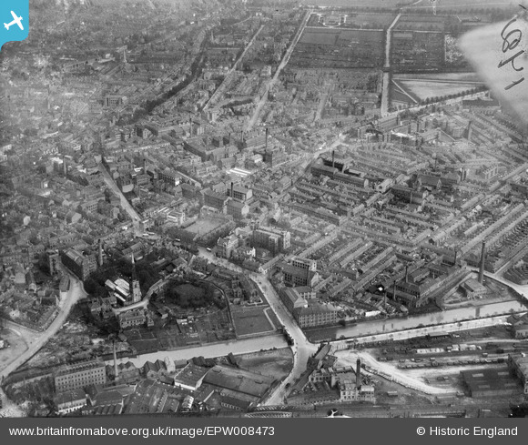
EPW008473 ENGLAND (1923). Oxford Street and environs, Leicester, 1923
© Copyright OpenStreetMap contributors and licensed by the OpenStreetMap Foundation. 2024. Cartography is licensed as CC BY-SA.
Nearby Images (6)
EPW008473

EPW008474

EPW008475

EPW008476

EPW008477

EPW018420

Details
| Title | [EPW008473] Oxford Street and environs, Leicester, 1923 |
| Reference | EPW008473 |
| Date | 1923 |
| Link | |
| Place name | LEICESTER |
| Parish | |
| District | |
| Country | ENGLAND |
| Easting / Northing | 458414, 303989 |
| Longitude / Latitude | -1.1368482881474, 52.630157577773 |
| National Grid Reference | SK584040 |
Pins
 Peter Smith |
Wednesday 12th of August 2020 07:53:00 AM | |
John W |
Friday 16th of December 2016 09:18:49 PM | |
John W |
Friday 16th of December 2016 09:18:07 PM | |
 Dolman St Store.jpg) electricar.dv4 |
Sunday 28th of August 2016 08:13:53 PM | |
Underwood55 |
Tuesday 15th of October 2013 11:35:18 PM | |
Underwood55 |
Tuesday 15th of October 2013 11:34:01 PM | |
Underwood55 |
Tuesday 15th of October 2013 11:33:22 PM | |
Underwood55 |
Tuesday 15th of October 2013 11:32:01 PM | |
Underwood55 |
Tuesday 15th of October 2013 11:30:18 PM | |
Underwood55 |
Tuesday 15th of October 2013 11:28:57 PM | |
Underwood55 |
Tuesday 15th of October 2013 11:27:53 PM | |
Underwood55 |
Tuesday 15th of October 2013 11:26:29 PM | |
Underwood55 |
Tuesday 15th of October 2013 11:25:34 PM | |
Underwood55 |
Tuesday 15th of October 2013 11:24:38 PM | |
Underwood55 |
Tuesday 15th of October 2013 11:23:40 PM | |
Underwood55 |
Tuesday 15th of October 2013 11:22:46 PM | |
JonB |
Thursday 9th of May 2013 11:02:46 PM | |
 |
JonB |
Thursday 9th of May 2013 11:00:55 PM |
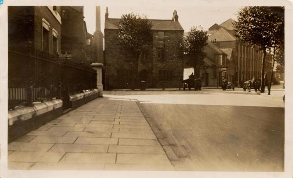
The two top floors were demolished in 1948. The building had been used as the Vicarage of St Mary de Castro, I presume since the reformation. I'm not sure it was ever a Chantry - there is one intact next to the Newarke Houses Museum - perhaps the Deans' or Canon's House for one of the two Colleges. |
Freeman |
Sunday 19th of October 2014 10:14:35 PM |
 |
JonB |
Thursday 9th of May 2013 10:55:19 PM |


