
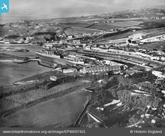
EPW007421 ENGLAND (1921). The harbour, Hayle, from the south, 1921. This image has been produced from a copy-negative.
© Copyright OpenStreetMap contributors and licensed by the OpenStreetMap Foundation. 2024. Cartography is licensed as CC BY-SA.
Details
| Title | [EPW007421] The harbour, Hayle, from the south, 1921. This image has been produced from a copy-negative. |
| Reference | EPW007421 |
| Date | 10-November-1921 |
| Link | |
| Place name | HAYLE |
| Parish | HAYLE |
| District | |
| Country | ENGLAND |
| Easting / Northing | 155631, 37080 |
| Longitude / Latitude | -5.4234569540269, 50.182628154086 |
| National Grid Reference | SW556371 |
Pins
 Gary Turner |
Tuesday 27th of September 2022 08:39:12 AM |
User Comment Contributions
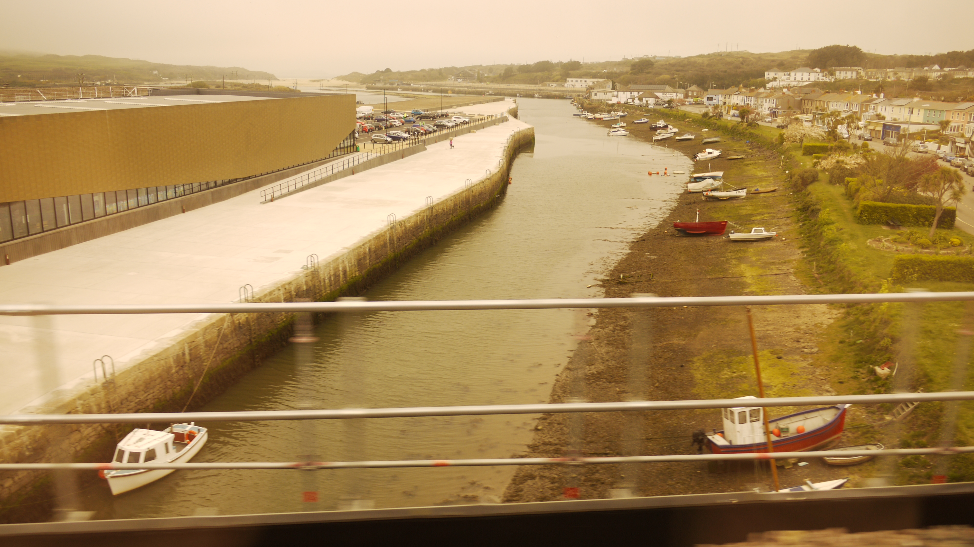 The view from the railway viaduct, Hayle, 15/04/2015 |
 Class31 |
Sunday 19th of April 2015 07:29:12 AM |


