
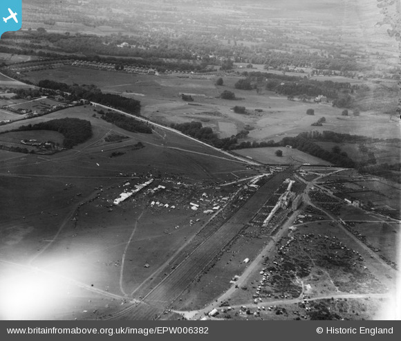
EPW006382 ENGLAND (1921). Epsom Racecourse, Epsom Downs, from the east, 1921
© Copyright OpenStreetMap contributors and licensed by the OpenStreetMap Foundation. 2024. Cartography is licensed as CC BY-SA.
Nearby Images (25)
EPW006382

EPW006364

EPW027459

EPW007900

EPW006400

EAW002166

EPW006441

EPW025147

EPW007653

EAW049845

EAW002167

EPW006384

EAW017627

EPW027457

EAW000991

EPW006391

EAW002165

EPW025140

EAW036447

EPW027461

EPW035517

EAW049499

EPW025144

EPW006387

EAW024759

Details
| Title | [EPW006382] Epsom Racecourse, Epsom Downs, from the east, 1921 |
| Reference | EPW006382 |
| Date | 31-May-1921 |
| Link | |
| Place name | EPSOM DOWNS |
| Parish | |
| District | |
| Country | ENGLAND |
| Easting / Northing | 522090, 158397 |
| Longitude / Latitude | -0.24810650638809, 51.311067625957 |
| National Grid Reference | TQ221584 |
Pins
Be the first to add a comment to this image!


