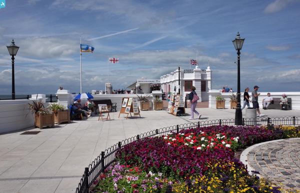
EPW000532 ENGLAND (1920). Marine Parade, Herne Bay, from the west, 1920

© Copyright OpenStreetMap contributors and licensed by the OpenStreetMap Foundation. 2024. Cartography is licensed as CC BY-SA.
Nearby Images (8)
EPW000532

EPW039300

EPW009204

EPW000125

EPW054044

EPW000533

EPW039303

EPW018643

Details
| Title | [EPW000532] Marine Parade, Herne Bay, from the west, 1920 |
| Reference | EPW000532 |
| Date | April-1920 |
| Link | |
| Place name | HERNE BAY |
| Parish | |
| District | |
| Country | ENGLAND |
| Easting / Northing | 617147, 168197 |
| Longitude / Latitude | 1.1201674888509, 51.37074483209 |
| National Grid Reference | TR171682 |
Pins
 hnritchie |
Thursday 28th of August 2014 10:58:32 AM | |
 Alan McFaden |
Friday 11th of July 2014 09:48:01 AM | |
Alan McFaden |
Friday 11th of July 2014 09:47:35 AM | |
Alan McFaden |
Friday 11th of July 2014 09:25:49 AM |