
EPR000457 ENGLAND (1935). Windsor Castle and the town, Windsor, 1935

© Copyright OpenStreetMap contributors and licensed by the OpenStreetMap Foundation. 2024. Cartography is licensed as CC BY-SA.
Nearby Images (44)
EPR000457

EAW004841

EPW012468

EPW001600

EAW026474

EAW004844

EAW004842

EAW053000

EPW056591

EPW034876

EPW022596

EPW056592

EPW012471

EPW053885

EPW022606

EPW034874

EPW005694

EAW003663

EPW047391

EAW004843

EPW005691

EAW042132

EPW046522

EPW046521

EPW005692

EAW026475

EPW056590

EAW004840

EAW052997

EPW000036

EAW021007

EAW003781

EPW046520

EPW046517

EPW001599

EAW003703

EPW053888

EPW053887

EPW053886

EAW003704

EPW034873

EPW046518

EAW053001

EPW012469

Details
| Title | [EPR000457] Windsor Castle and the town, Windsor, 1935 |
| Reference | EPR000457 |
| Date | 21-March-1935 |
| Link | |
| Place name | WINDSOR |
| Parish | |
| District | |
| Country | ENGLAND |
| Easting / Northing | 496854, 176958 |
| Longitude / Latitude | -0.60502603539187, 51.482787371737 |
| National Grid Reference | SU969770 |
Pins
Be the first to add a comment to this image!
User Comment Contributions
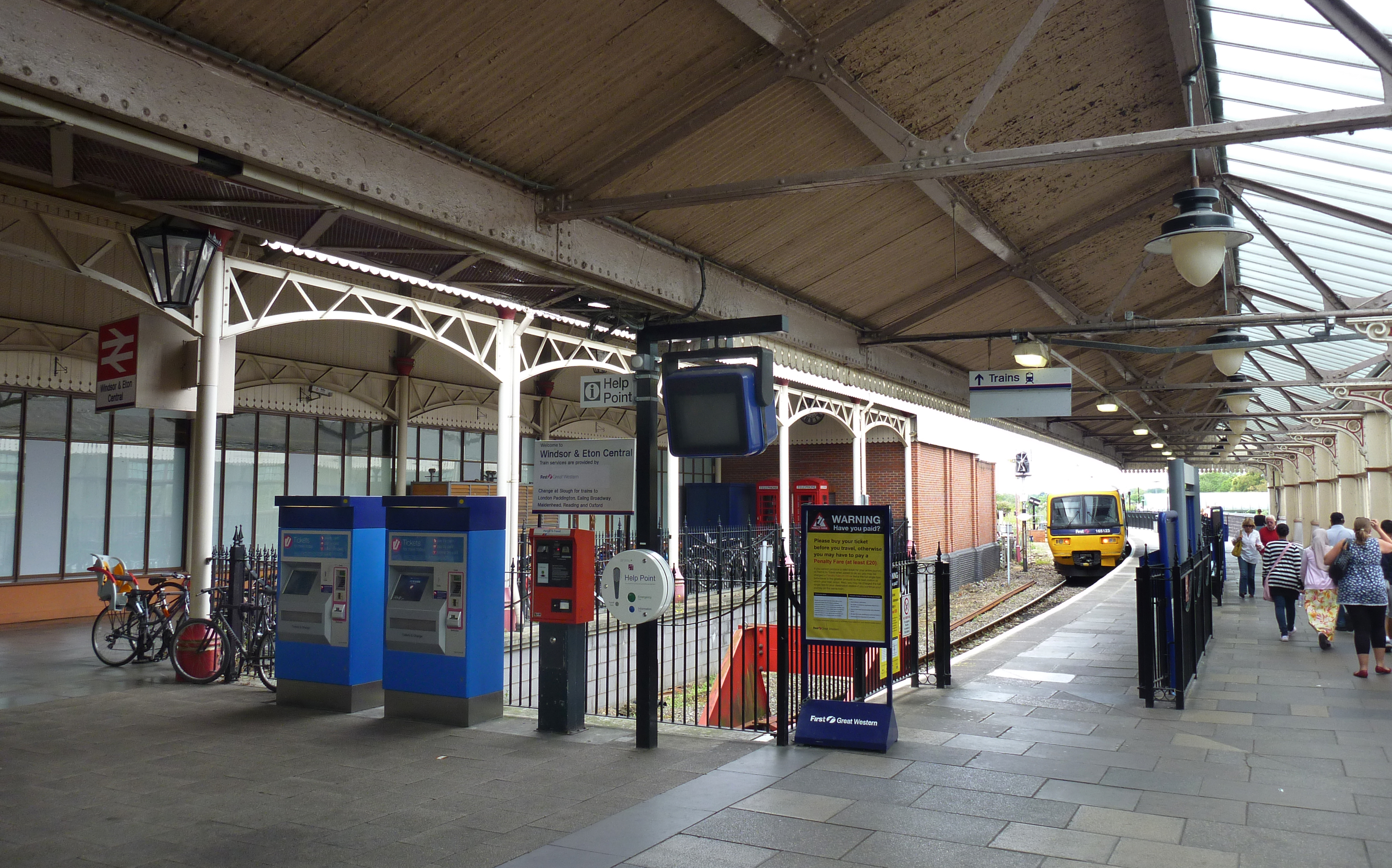 Windsor and Eton Central Railway Station |
 Alan McFaden |
Thursday 13th of November 2014 06:24:57 PM |
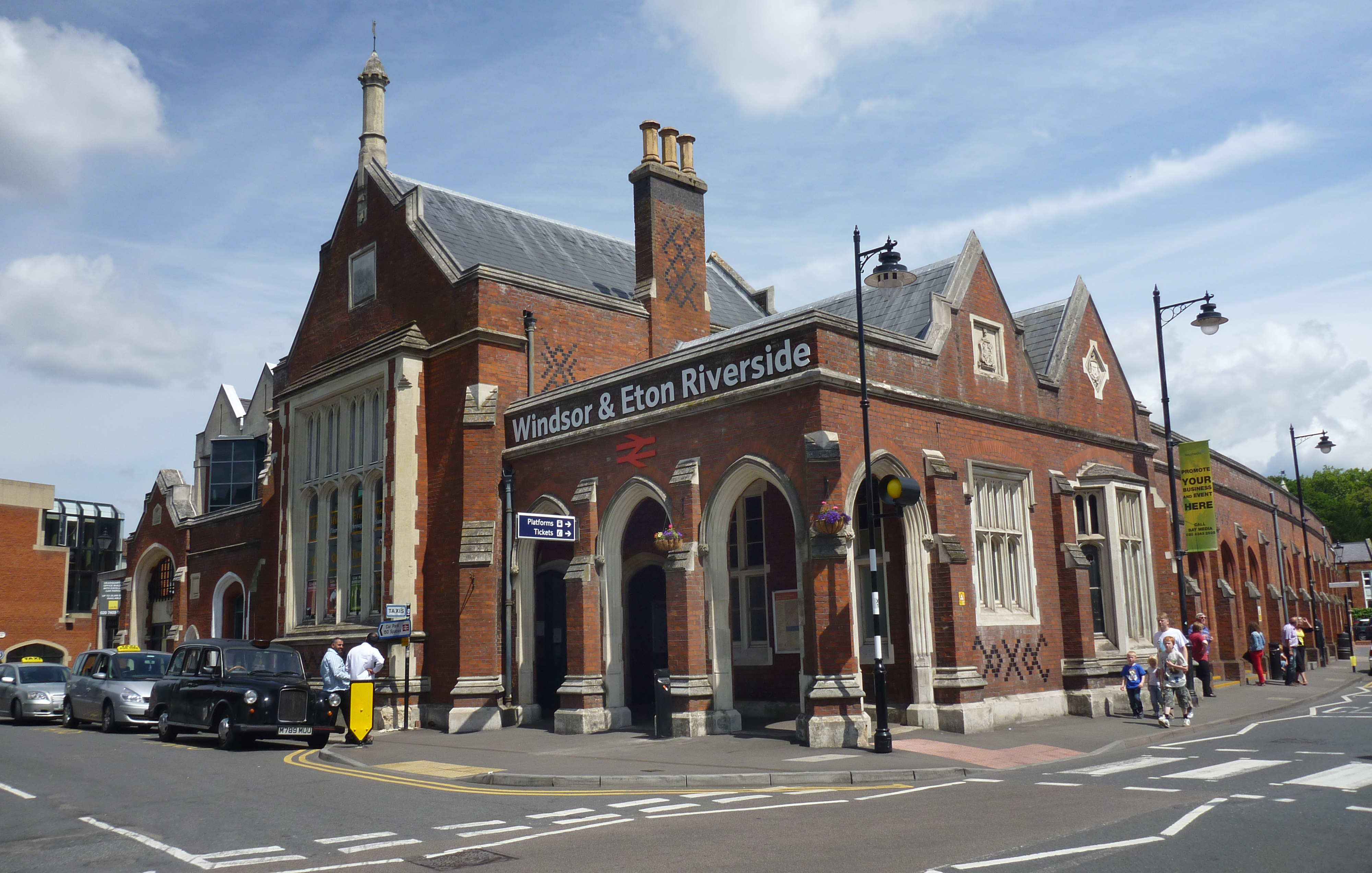 Windsor and Eton Riverside Railway Station |
Alan McFaden |
Thursday 13th of November 2014 06:24:14 PM |
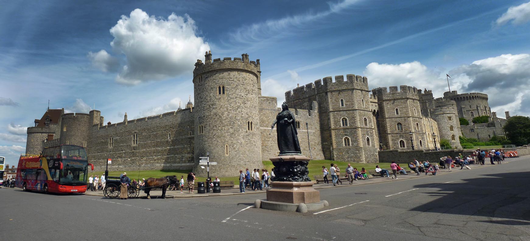 Windsor Castle |
Alan McFaden |
Thursday 13th of November 2014 06:23:17 PM |


