
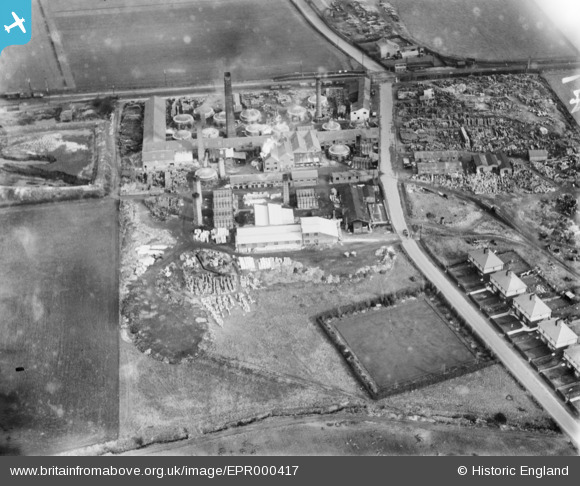
EPR000417 ENGLAND (1934). Rainford Potteries, Rainford, 1934
© Copyright OpenStreetMap contributors and licensed by the OpenStreetMap Foundation. 2024. Cartography is licensed as CC BY-SA.
Nearby Images (11)
EPR000417

EPR000419

EPR000234

EPR000416

EPR000418

EPW018701

EPW018700

EPW018697

EPW018696

EPW018699

EPW018695

Details
| Title | [EPR000417] Rainford Potteries, Rainford, 1934 |
| Reference | EPR000417 |
| Date | 26-October-1934 |
| Link | |
| Place name | RAINFORD |
| Parish | RAINFORD |
| District | |
| Country | ENGLAND |
| Easting / Northing | 349050, 399515 |
| Longitude / Latitude | -2.7679932493776, 53.489624820232 |
| National Grid Reference | SJ491995 |
Pins
Be the first to add a comment to this image!


