
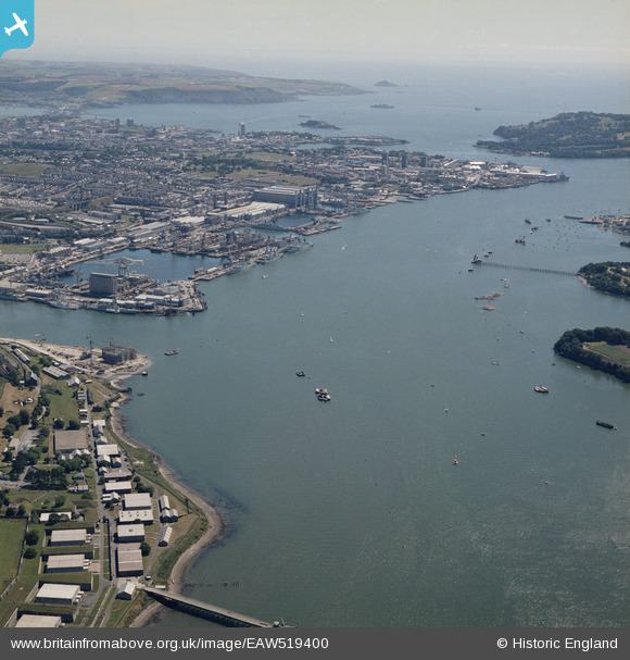
EAW519400 ENGLAND (1987). Devonport, Plymouth, 1987
© Copyright OpenStreetMap contributors and licensed by the OpenStreetMap Foundation. 2024. Cartography is licensed as CC BY-SA.
Details
| Title | [EAW519400] Devonport, Plymouth, 1987 |
| Reference | EAW519400 |
| Date | 15-August-1987 |
| Link | |
| Place name | PLYMOUTH |
| Parish | NON CIVIL PARISH |
| District | |
| Country | ENGLAND |
| Easting / Northing | 244017, 56676 |
| Longitude / Latitude | -4.1945437890898, 50.388641996363 |
| National Grid Reference | SX440567 |
Pins
 MB |
Wednesday 20th of January 2021 08:50:02 PM | |
MB |
Wednesday 20th of January 2021 08:48:58 PM | |
redmist |
Tuesday 15th of December 2020 02:40:26 PM | |
MB |
Wednesday 24th of August 2016 10:48:15 AM | |
MB |
Wednesday 24th of August 2016 10:47:44 AM | |
MB |
Wednesday 24th of August 2016 10:46:32 AM | |
Coventry kid |
Tuesday 17th of May 2016 08:54:20 PM | |
ken |
Monday 23rd of November 2015 07:15:55 PM |


