
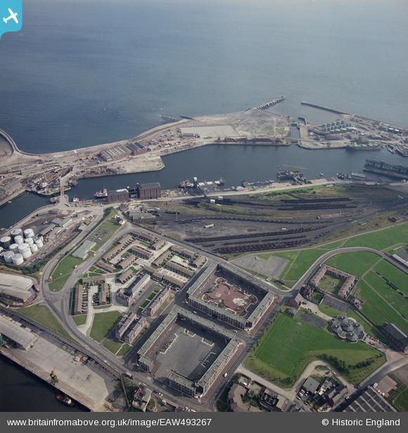
EAW493267 ENGLAND (1985). Docks, Sunderland, 1985
© Copyright OpenStreetMap contributors and licensed by the OpenStreetMap Foundation. 2024. Cartography is licensed as CC BY-SA.
Nearby Images (6)
EAW493267

EAW001017

EPW020536

EPW020531

EPW020537

EAW003183

Details
| Title | [EAW493267] Docks, Sunderland, 1985 |
| Reference | EAW493267 |
| Date | 2-October-1985 |
| Link | |
| Place name | SUNDERLAND |
| Parish | NON CIVIL PARISH |
| District | |
| Country | ENGLAND |
| Easting / Northing | 440890, 557349 |
| Longitude / Latitude | -1.362154456254, 54.909094923302 |
| National Grid Reference | NZ409573 |
Pins
Be the first to add a comment to this image!


