
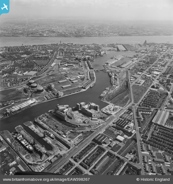
EAW398267 ENGLAND (1980). Birkenhead Docks and environs, Birkenhead, 1980
© Copyright OpenStreetMap contributors and licensed by the OpenStreetMap Foundation. 2024. Cartography is licensed as CC BY-SA.
Nearby Images (10)
EAW398267

EAW001790

EPW041995

EPW041997

EAW038506

EPW041996

EPW041994

EPW009282

EAW036049

EAW038503

Details
| Title | [EAW398267] Birkenhead Docks and environs, Birkenhead, 1980 |
| Reference | EAW398267 |
| Date | 21-August-1980 |
| Link | |
| Place name | BIRKENHEAD |
| Parish | NON CIVIL PARISH |
| District | |
| Country | ENGLAND |
| Easting / Northing | 330726, 390257 |
| Longitude / Latitude | -3.0421171149678, 53.404319834081 |
| National Grid Reference | SJ307903 |
Pins
 XMAS DAY |
Friday 12th of January 2024 01:32:05 PM | |
XMAS DAY |
Friday 12th of January 2024 01:29:18 PM | |
Bob Fraser |
Saturday 20th of February 2016 11:07:38 AM | |
Bob Fraser |
Saturday 20th of February 2016 11:05:14 AM | |
Bob Fraser |
Saturday 20th of February 2016 11:04:29 AM | |
Bob Fraser |
Saturday 20th of February 2016 11:03:12 AM | |
Bob Fraser |
Saturday 20th of February 2016 11:02:43 AM | |
Bob Fraser |
Saturday 20th of February 2016 11:01:17 AM | |
Bob Fraser |
Saturday 20th of February 2016 11:00:53 AM |


