
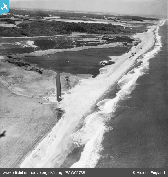
EAW057381 ENGLAND (1954). Easton Broad and environs, Southwold, 1954
© Copyright OpenStreetMap contributors and licensed by the OpenStreetMap Foundation. 2024. Cartography is licensed as CC BY-SA.
Details
| Title | [EAW057381] Easton Broad and environs, Southwold, 1954 |
| Reference | EAW057381 |
| Date | 27-October-1954 |
| Link | |
| Place name | SOUTHWOLD |
| Parish | REYDON |
| District | |
| Country | ENGLAND |
| Easting / Northing | 651714, 278666 |
| Longitude / Latitude | 1.6963093518525, 52.347789987175 |
| National Grid Reference | TM517787 |
Pins
 Matt Aldred edob.mattaldred.com |
Sunday 7th of March 2021 10:50:31 AM | |
Matt Aldred edob.mattaldred.com |
Saturday 5th of December 2020 02:15:41 PM | |
Matt Aldred edob.mattaldred.com |
Saturday 5th of December 2020 02:14:29 PM | |
 redmist |
Thursday 18th of April 2019 10:25:02 PM | |
redmist |
Thursday 18th of April 2019 10:21:41 PM | |
Chris Kolonko |
Saturday 16th of September 2017 06:56:17 PM |


