
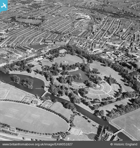
EAW051827 ENGLAND (1953). Abbey Park and The Oval, Leicester, 1953
© Copyright OpenStreetMap contributors and licensed by the OpenStreetMap Foundation. 2024. Cartography is licensed as CC BY-SA.
Nearby Images (7)
EAW051827

EAW043360

EPW055004

EAW051824

EAW024248

EAW051825

EAW043361

Details
| Title | [EAW051827] Abbey Park and The Oval, Leicester, 1953 |
| Reference | EAW051827 |
| Date | 1-September-1953 |
| Link | |
| Place name | LEICESTER |
| Parish | |
| District | |
| Country | ENGLAND |
| Easting / Northing | 458735, 305715 |
| Longitude / Latitude | -1.131798484773, 52.645639212796 |
| National Grid Reference | SK587057 |
Pins
 NEOhoppy |
Sunday 30th of August 2015 09:30:28 AM | |
NEOhoppy |
Sunday 30th of August 2015 09:28:58 AM | |
NEOhoppy |
Sunday 30th of August 2015 09:27:20 AM | |
NEOhoppy |
Sunday 30th of August 2015 09:26:36 AM | |
NEOhoppy |
Sunday 30th of August 2015 09:25:43 AM | |
NEOhoppy |
Sunday 30th of August 2015 09:22:32 AM | |
NEOhoppy |
Sunday 30th of August 2015 09:20:39 AM | |
mannidaze |
Saturday 29th of August 2015 07:27:17 PM |
User Comment Contributions
This is a fantastic photo of the station facilities at Leicester Belgrave Road railway station. |
 Class31 |
Friday 28th of August 2015 04:26:58 PM |


