
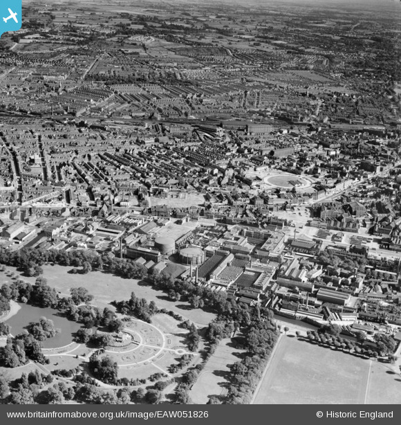
EAW051826 ENGLAND (1953). Abbey Park and the city, Leicester, 1953
© Copyright OpenStreetMap contributors and licensed by the OpenStreetMap Foundation. 2024. Cartography is licensed as CC BY-SA.
Nearby Images (18)
EAW051826

EAW051833

EPW055007

EPW061207

EAW010034

EAW010033

EAW011747

EAW009353

EAW011750

EAW010031

EAW011749

EAW011746

EAW010035

EAW011751

EAW011748

EAW011745

EAW011744

EAW009355

Details
| Title | [EAW051826] Abbey Park and the city, Leicester, 1953 |
| Reference | EAW051826 |
| Date | 1-September-1953 |
| Link | |
| Place name | LEICESTER |
| Parish | |
| District | |
| Country | ENGLAND |
| Easting / Northing | 459015, 305148 |
| Longitude / Latitude | -1.1277615506672, 52.640511649997 |
| National Grid Reference | SK590051 |
Pins
 David960 |
Friday 6th of February 2015 06:36:27 PM |


