
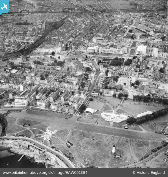
EAW051364 ENGLAND (1953). Hoe Park, The Hoe and the city centre, Plymouth, 1953
© Copyright OpenStreetMap contributors and licensed by the OpenStreetMap Foundation. 2024. Cartography is licensed as CC BY-SA.
Nearby Images (4)
EAW051364

EAW051362

EAW051363

EPW011266

Details
| Title | [EAW051364] Hoe Park, The Hoe and the city centre, Plymouth, 1953 |
| Reference | EAW051364 |
| Date | 11-August-1953 |
| Link | |
| Place name | PLYMOUTH |
| Parish | |
| District | |
| Country | ENGLAND |
| Easting / Northing | 247612, 54125 |
| Longitude / Latitude | -4.142969665604, 50.366656660313 |
| National Grid Reference | SX476541 |


