
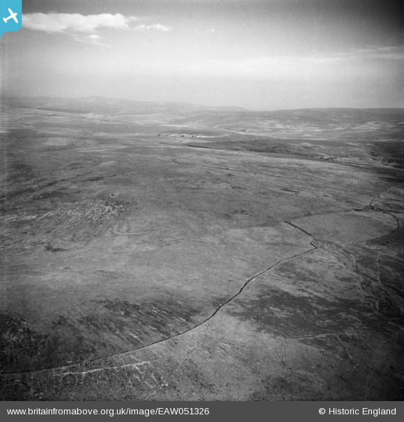
EAW051326 ENGLAND (1953). Cramber Tor, Walkhampton, from the west, 1953.
© Copyright OpenStreetMap contributors and licensed by the OpenStreetMap Foundation. 2024. Cartography is licensed as CC BY-SA.
Details
| Title | [EAW051326] Cramber Tor, Walkhampton, from the west, 1953. |
| Reference | EAW051326 |
| Date | 8-August-1953 |
| Link | |
| Place name | CRAMBER TOR |
| Parish | WALKHAMPTON |
| District | |
| Country | ENGLAND |
| Easting / Northing | 257916, 70998 |
| Longitude / Latitude | -4.0045651197779, 50.520900846977 |
| National Grid Reference | SX579710 |
Pins
 Class31 |
Tuesday 11th of November 2014 02:48:04 PM | |
Class31 |
Tuesday 11th of November 2014 02:38:41 PM | |
Class31 |
Tuesday 11th of November 2014 02:37:13 PM | |
Class31 |
Wednesday 5th of November 2014 03:33:19 PM | |
Class31 |
Wednesday 5th of November 2014 03:28:35 PM | |
Class31 |
Wednesday 5th of November 2014 03:25:54 PM | |
Class31 |
Wednesday 5th of November 2014 03:15:27 PM | |
Devonport Leat! |
Class31 |
Wednesday 5th of November 2014 03:24:57 PM |
User Comment Contributions
We are looking east. |
Class31 |
Wednesday 5th of November 2014 03:30:24 PM |


