
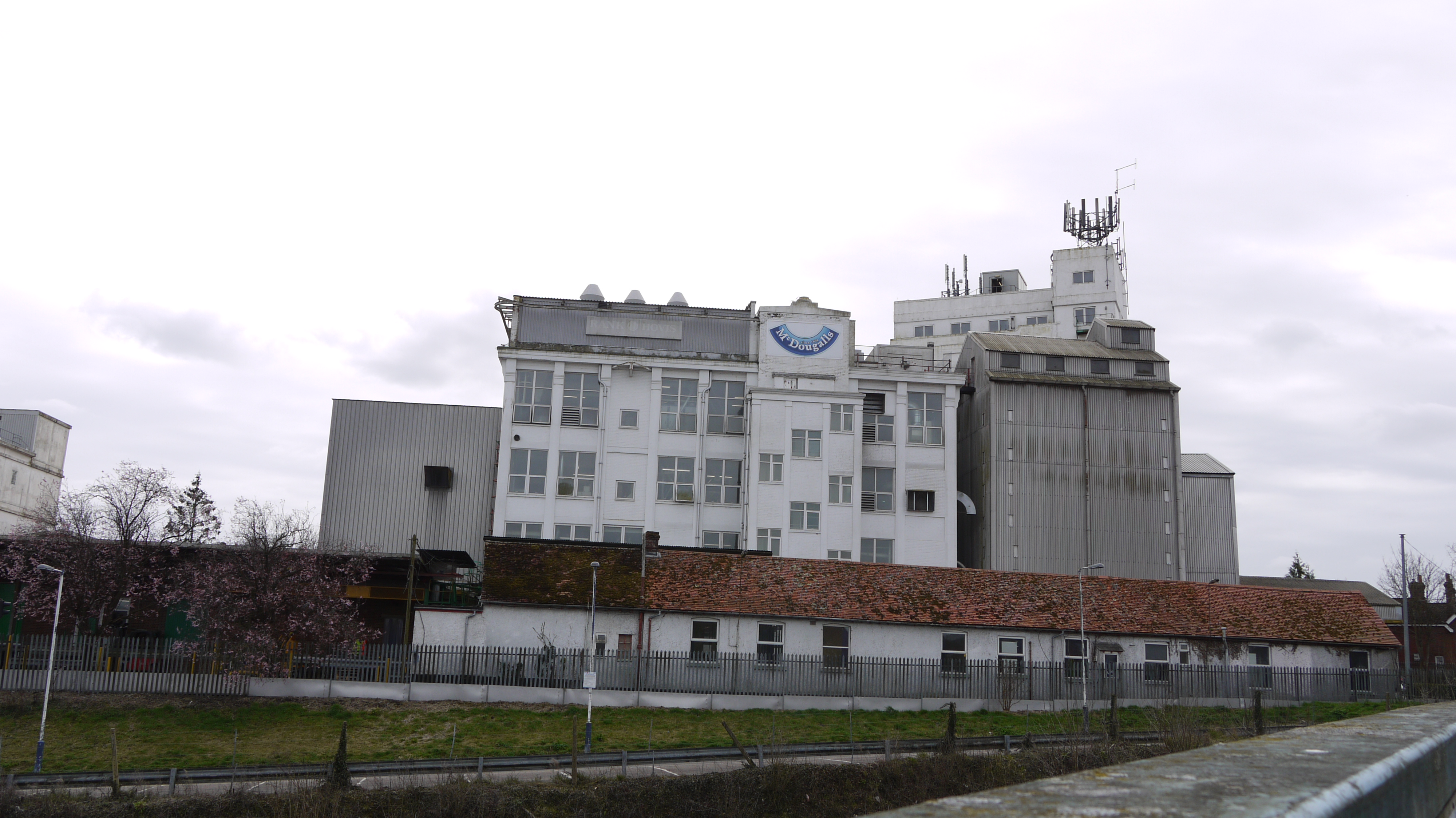
EAW051070 ENGLAND (1953). McDougall's Junction Flour Mill, Andover, 1953. This image was marked by Aerofilms Ltd for photo editing.

© Copyright OpenStreetMap contributors and licensed by the OpenStreetMap Foundation. 2024. Cartography is licensed as CC BY-SA.
Nearby Images (21)
EAW051070

EAW010978

EAW051075

EAW051072

EAW051074

EAW010973

EAW051073

EAW010971

EAW051071

EAW010974

EAW010976

EAW010980

EAW010975

EAW051068

EAW010981

EAW051069

EPW022739

EPW022741

EAW010977

EAW010972

EAW010979

Details
| Title | [EAW051070] McDougall's Junction Flour Mill, Andover, 1953. This image was marked by Aerofilms Ltd for photo editing. |
| Reference | EAW051070 |
| Date | 10-August-1953 |
| Link | |
| Place name | ANDOVER |
| Parish | ANDOVER |
| District | |
| Country | ENGLAND |
| Easting / Northing | 435314, 145671 |
| Longitude / Latitude | -1.4944131202697, 51.208635909114 |
| National Grid Reference | SU353457 |
Pins
 Billy Turner |
Thursday 3rd of November 2016 09:46:12 PM |

User Comment Contributions
 McDougall's Flour Mills, Andover, 30/03/2015 |
 Class31 |
Tuesday 31st of March 2015 05:44:11 PM |


