
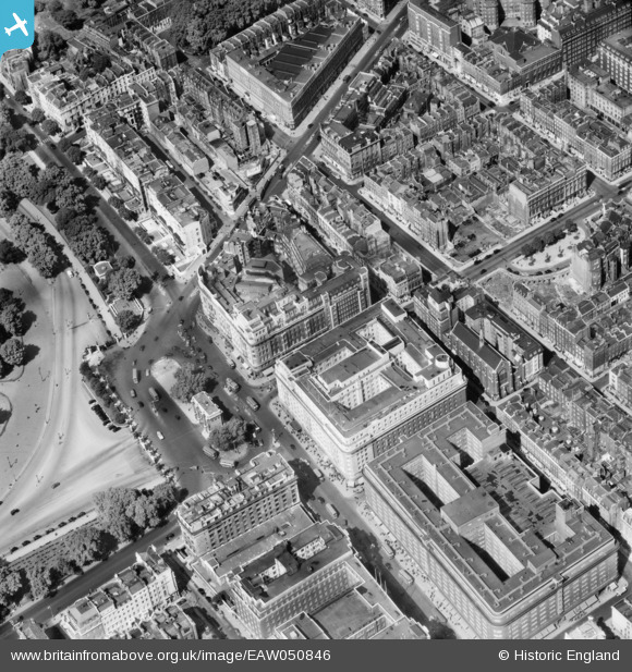
EAW050846 ENGLAND (1953). Marble Arch, the Odeon Cinema, Cumberland Hotel and environs, Westminster, 1953
© Copyright OpenStreetMap contributors and licensed by the OpenStreetMap Foundation. 2024. Cartography is licensed as CC BY-SA.
Nearby Images (38)
EAW050846

EAW046366

EPW044580

EAW000562

EAW050847

EPW059408

EPW044579

EAW053006

EPW044582

EPW005989

EPW007997

EAW000567

EPW005906

EPW007999

EPW060763

EPW007998

EPW059414

EPW035003

EPW035003
EAW000566

EAW050852

EPW059413

EAW000545

EAW050845

EPW059409

EPW035004

EAW050870

EPW006158

EPW055350

EAW029834

EAW052481

EPW011416

EAW000565

EPW021436

EPW021405

EAW004918

EAW000564

EAW030118

Details
| Title | [EAW050846] Marble Arch, the Odeon Cinema, Cumberland Hotel and environs, Westminster, 1953 |
| Reference | EAW050846 |
| Date | 23-July-1953 |
| Link | |
| Place name | WESTMINSTER |
| Parish | |
| District | |
| Country | ENGLAND |
| Easting / Northing | 527825, 181027 |
| Longitude / Latitude | -0.15769869817403, 51.51320675221 |
| National Grid Reference | TQ278810 |
Pins
 brianbeckett |
Thursday 28th of May 2020 08:22:07 PM | |
Baz 1969 |
Tuesday 8th of October 2019 12:53:16 PM | |
 Alan McFaden |
Saturday 27th of September 2014 11:09:46 AM | |
Alan McFaden |
Saturday 27th of September 2014 11:09:08 AM | |
Alan McFaden |
Saturday 27th of September 2014 11:08:38 AM |


