
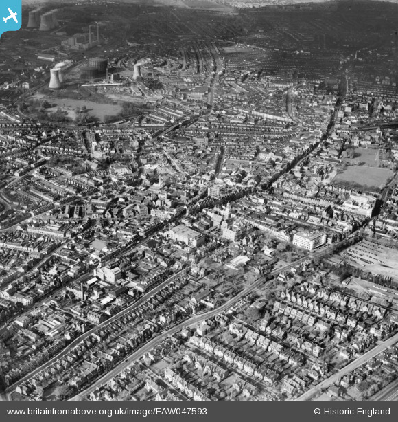
EAW047593 ENGLAND (1952). The High Street and environs, Croydon, 1952
© Copyright OpenStreetMap contributors and licensed by the OpenStreetMap Foundation. 2024. Cartography is licensed as CC BY-SA.
Nearby Images (8)
EAW047593

EAW047591

EPW056620

EPW056622

EAW047595

EPW056623

EPW021425

EAW047596

Details
| Title | [EAW047593] The High Street and environs, Croydon, 1952 |
| Reference | EAW047593 |
| Date | 23-October-1952 |
| Link | |
| Place name | CROYDON |
| Parish | |
| District | |
| Country | ENGLAND |
| Easting / Northing | 532285, 165433 |
| Longitude / Latitude | -0.099284653670591, 51.372026837646 |
| National Grid Reference | TQ323654 |
Pins
 brianbeckett |
Saturday 18th of October 2014 05:40:36 PM |


