
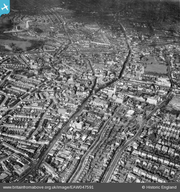
EAW047591 ENGLAND (1952). The High Street and environs, Croydon, 1952
© Copyright OpenStreetMap contributors and licensed by the OpenStreetMap Foundation. 2024. Cartography is licensed as CC BY-SA.
Nearby Images (9)
EAW047591

EAW047593

EPW056620

EAW047595

EPW056623

EPW056622

EPW021425

EAW047596

EPW052806

Details
| Title | [EAW047591] The High Street and environs, Croydon, 1952 |
| Reference | EAW047591 |
| Date | 23-October-1952 |
| Link | |
| Place name | CROYDON |
| Parish | |
| District | |
| Country | ENGLAND |
| Easting / Northing | 532271, 165390 |
| Longitude / Latitude | -0.09950169787042, 51.371643626275 |
| National Grid Reference | TQ323654 |
Pins
 john bagley |
Monday 14th of August 2017 01:23:17 PM |


