
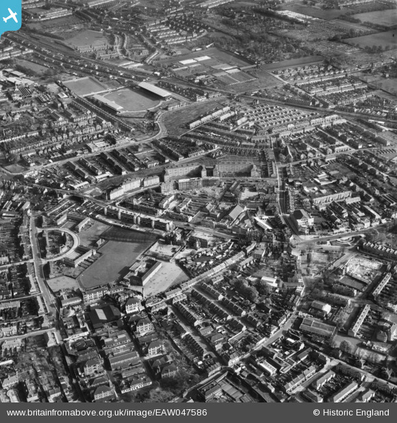
EAW047586 ENGLAND (1952). The town centre, Mitcham, 1952
© Copyright OpenStreetMap contributors and licensed by the OpenStreetMap Foundation. 2024. Cartography is licensed as CC BY-SA.
Nearby Images (12)
EAW047586

EAW047588

EAW047585

EAW047587

EPW055287

EPW006435

EPW011769

EPW025106

EAW049832

EAW049831

EAW049828

EPW025107

Details
| Title | [EAW047586] The town centre, Mitcham, 1952 |
| Reference | EAW047586 |
| Date | 23-October-1952 |
| Link | |
| Place name | MITCHAM |
| Parish | |
| District | |
| Country | ENGLAND |
| Easting / Northing | 527909, 169224 |
| Longitude / Latitude | -0.16075907904453, 51.407103317655 |
| National Grid Reference | TQ279692 |
Pins
Be the first to add a comment to this image!


