
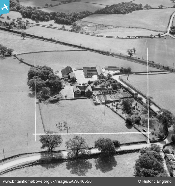
EAW046556 ENGLAND (1952). Hound Hill, Worsbrough, 1952. This image was marked by Aerofilms Ltd for photo editing.
© Copyright OpenStreetMap contributors and licensed by the OpenStreetMap Foundation. 2024. Cartography is licensed as CC BY-SA.
Nearby Images (7)
EAW046556

EAW046555

EAW046557

EAW046559

EAW046558

EAW025620

EAW025621

Details
| Title | [EAW046556] Hound Hill, Worsbrough, 1952. This image was marked by Aerofilms Ltd for photo editing. |
| Reference | EAW046556 |
| Date | 1-September-1952 |
| Link | |
| Place name | WORSBROUGH |
| Parish | |
| District | |
| Country | ENGLAND |
| Easting / Northing | 433718, 404145 |
| Longitude / Latitude | -1.4912404477395, 53.532630967898 |
| National Grid Reference | SE337041 |
Pins
Be the first to add a comment to this image!


