
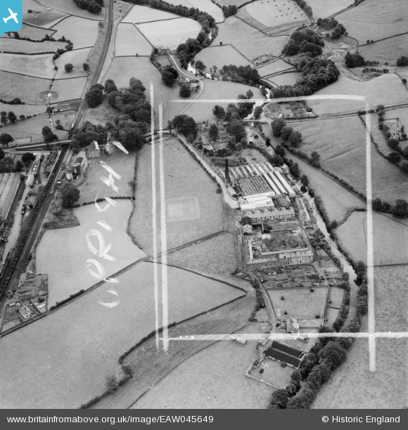
EAW045649 ENGLAND (1952). High Bentham Mill, High Bentham, 1952. This image was marked by Aerofilms Ltd for photo editing.
© Copyright OpenStreetMap contributors and licensed by the OpenStreetMap Foundation. 2024. Cartography is licensed as CC BY-SA.
Nearby Images (25)
EAW045649

EAW045644

EAW005614

EAW005616

EAW005622

EAW045650

EAW005620

EAW005623

EAW005618

EAW005624

EAW045642

EAW005621

EAW005619

EAW005625

EAW005615

EAW045648

EAW045647

EAW005617

EAW045645

EAW045646

EAW045643

EPW057369

EPW057370

EPW057371

EPW057372

Details
| Title | [EAW045649] High Bentham Mill, High Bentham, 1952. This image was marked by Aerofilms Ltd for photo editing. |
| Reference | EAW045649 |
| Date | 31-July-1952 |
| Link | |
| Place name | HIGH BENTHAM |
| Parish | BENTHAM |
| District | |
| Country | ENGLAND |
| Easting / Northing | 366550, 468839 |
| Longitude / Latitude | -2.5117535848145, 54.114157962136 |
| National Grid Reference | SD666688 |
Pins
Be the first to add a comment to this image!


