
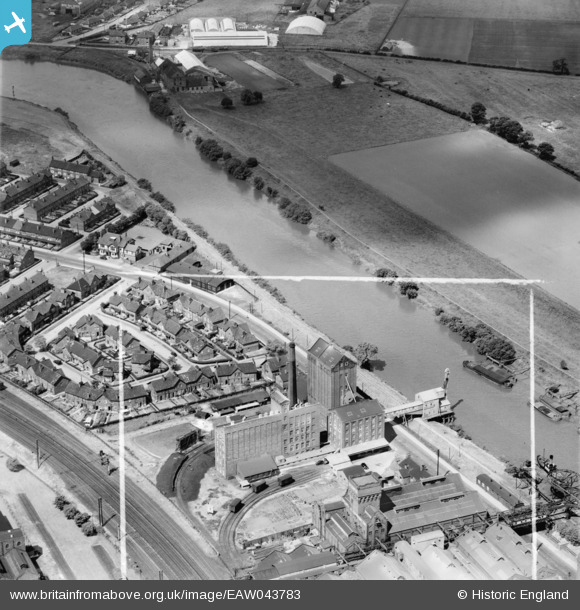
EAW043783 ENGLAND (1952). W.L. Kirby Ltd Flour Mills, Selby, 1952. This image was marked by Aerofilms Ltd for photo editing.
© Copyright OpenStreetMap contributors and licensed by the OpenStreetMap Foundation. 2024. Cartography is licensed as CC BY-SA.
Nearby Images (17)
EAW043783

EAW044226

EAW043779

EAW043782

EAW043777

EAW044220

EAW044225

EAW044223

EPW015456

EAW044224

EAW044221

EAW044227

EAW044222

EAW043781

EAW043778

EAW043784

EAW043780

Details
| Title | [EAW043783] W.L. Kirby Ltd Flour Mills, Selby, 1952. This image was marked by Aerofilms Ltd for photo editing. |
| Reference | EAW043783 |
| Date | 5-June-1952 |
| Link | |
| Place name | SELBY |
| Parish | BARLBY WITH OSGODBY |
| District | |
| Country | ENGLAND |
| Easting / Northing | 462030, 432831 |
| Longitude / Latitude | -1.0583692613592, 53.787880913413 |
| National Grid Reference | SE620328 |


