
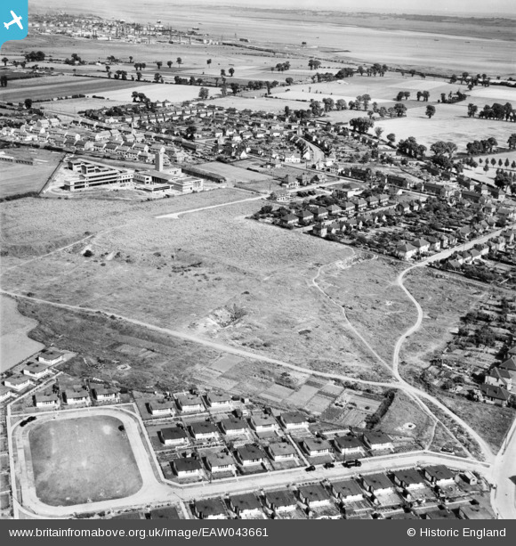
EAW043661 ENGLAND (1952). Prefabricated houses on King George Drive looking towards Hassingbrook Road and beyond, Stanford-le-Hope, from the north-west, 1952
© Copyright OpenStreetMap contributors and licensed by the OpenStreetMap Foundation. 2024. Cartography is licensed as CC BY-SA.
Nearby Images (2)
EAW043661

EAW043660

Details
| Title | [EAW043661] Prefabricated houses on King George Drive looking towards Hassingbrook Road and beyond, Stanford-le-Hope, from the north-west, 1952 |
| Reference | EAW043661 |
| Date | 4-June-1952 |
| Link | |
| Place name | STANFORD-LE-HOPE |
| Parish | |
| District | |
| Country | ENGLAND |
| Easting / Northing | 568669, 182671 |
| Longitude / Latitude | 0.43125870103104, 51.517260386059 |
| National Grid Reference | TQ687827 |
Pins
User Comment Contributions
top left 4 houses are in what was called franklin walk numbered from the bottom i lived in number 3 |
 bob |
Monday 15th of August 2016 07:58:00 PM |


