
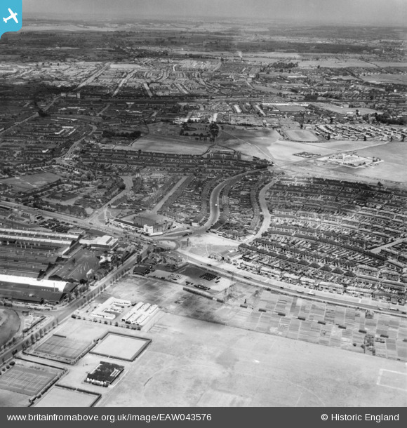
EAW043576 ENGLAND (1952). Kent Avenue, New Road and the Old Dagenham Park area, Dagenham, from the south-east, 1952
© Copyright OpenStreetMap contributors and licensed by the OpenStreetMap Foundation. 2024. Cartography is licensed as CC BY-SA.
Nearby Images (5)
EAW043576

EAW043575

EAW052715

EAW052716

EAW052719

Details
| Title | [EAW043576] Kent Avenue, New Road and the Old Dagenham Park area, Dagenham, from the south-east, 1952 |
| Reference | EAW043576 |
| Date | 4-June-1952 |
| Link | |
| Place name | DAGENHAM |
| Parish | |
| District | |
| Country | ENGLAND |
| Easting / Northing | 549623, 183196 |
| Longitude / Latitude | 0.15716805941938, 51.527344976739 |
| National Grid Reference | TQ496832 |
Pins
Be the first to add a comment to this image!


