
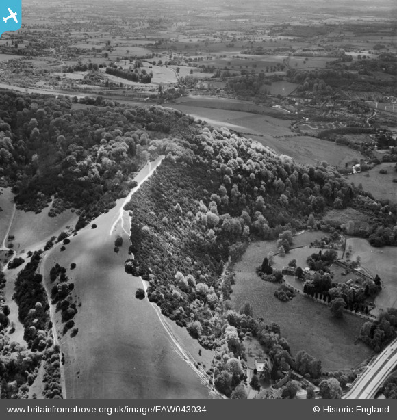
EAW043034 ENGLAND (1952). Burford Lodge, The Whites and environs, Westhumble, 1952
© Copyright OpenStreetMap contributors and licensed by the OpenStreetMap Foundation. 2024. Cartography is licensed as CC BY-SA.
Nearby Images (4)
EAW043034

EAW008251

EPW001623

EAW003356

Details
| Title | [EAW043034] Burford Lodge, The Whites and environs, Westhumble, 1952 |
| Reference | EAW043034 |
| Date | 9-May-1952 |
| Link | |
| Place name | WESTHUMBLE |
| Parish | MICKLEHAM |
| District | |
| Country | ENGLAND |
| Easting / Northing | 517540, 151609 |
| Longitude / Latitude | -0.31559821045304, 51.251008867246 |
| National Grid Reference | TQ175516 |
Pins
Be the first to add a comment to this image!


