
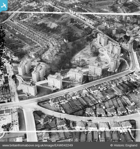
EAW042249 ENGLAND (1952). The Springfield Housing Estate, Charlton, 1952. This image was marked by Aerofilms Ltd for photo editing.
© Copyright OpenStreetMap contributors and licensed by the OpenStreetMap Foundation. 2024. Cartography is licensed as CC BY-SA.
Nearby Images (16)
EAW042249

EAW042245

EAW042246

EAW042250

EAW042242

EAW042248

EAW042244

EAW042241

EAW042243

EAW042247

EAW005424

EAW005426

EAW005423

EAW005427

EAW005428

EAW005430

Details
| Title | [EAW042249] The Springfield Housing Estate, Charlton, 1952. This image was marked by Aerofilms Ltd for photo editing. |
| Reference | EAW042249 |
| Date | 7-April-1952 |
| Link | |
| Place name | CHARLTON |
| Parish | |
| District | |
| Country | ENGLAND |
| Easting / Northing | 541319, 177664 |
| Longitude / Latitude | 0.035313227899439, 51.479769519503 |
| National Grid Reference | TQ413777 |
Pins
Be the first to add a comment to this image!


