
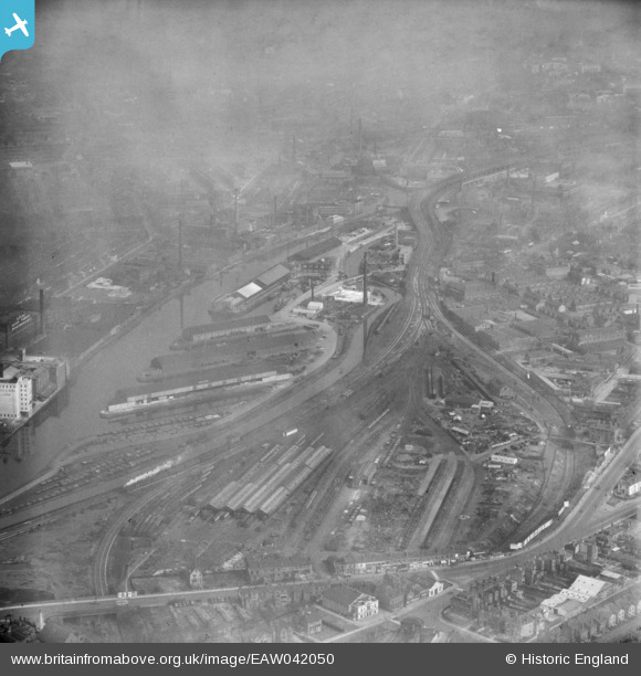
EAW042050 ENGLAND (1952). The Pomona Docks and environs, Old Trafford, from the south, 1952
© Copyright OpenStreetMap contributors and licensed by the OpenStreetMap Foundation. 2024. Cartography is licensed as CC BY-SA.
Nearby Images (7)
EAW042050

EAW022003

EPW027779

EPW027780

EAW050415

EPW045068

EPW016776

Details
| Title | [EAW042050] The Pomona Docks and environs, Old Trafford, from the south, 1952 |
| Reference | EAW042050 |
| Date | 23-March-1952 |
| Link | |
| Place name | OLD TRAFFORD |
| Parish | |
| District | |
| Country | ENGLAND |
| Easting / Northing | 381834, 396467 |
| Longitude / Latitude | -2.2736600712769, 53.464378748664 |
| National Grid Reference | SJ818965 |
Pins
 Bottom Yard |
Sunday 21st of May 2023 10:39:39 AM | |
Bottom Yard |
Sunday 21st of May 2023 10:26:06 AM |


