
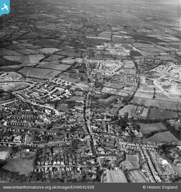
EAW041928 ENGLAND (1952). The town centre and construction of the Northgate neighbourhood, Northgate, Crawley, from the south, 1952
© Copyright OpenStreetMap contributors and licensed by the OpenStreetMap Foundation. 2024. Cartography is licensed as CC BY-SA.
Nearby Images (13)
EAW041928

EPW028574

EPW028569

EPW001481

EPW001485

EPW028572

EPW028573

EAW011066

EPW001483

EPW028576

EAW037052

EAW022731

EPW054135
 through Ewhurst Wood and the town, Crawley, from the south-east, 1937")
Details
| Title | [EAW041928] The town centre and construction of the Northgate neighbourhood, Northgate, Crawley, from the south, 1952 |
| Reference | EAW041928 |
| Date | 14-March-1952 |
| Link | |
| Place name | CRAWLEY |
| Parish | |
| District | |
| Country | ENGLAND |
| Easting / Northing | 526760, 136404 |
| Longitude / Latitude | -0.18890503922759, 51.112363686301 |
| National Grid Reference | TQ268364 |


