
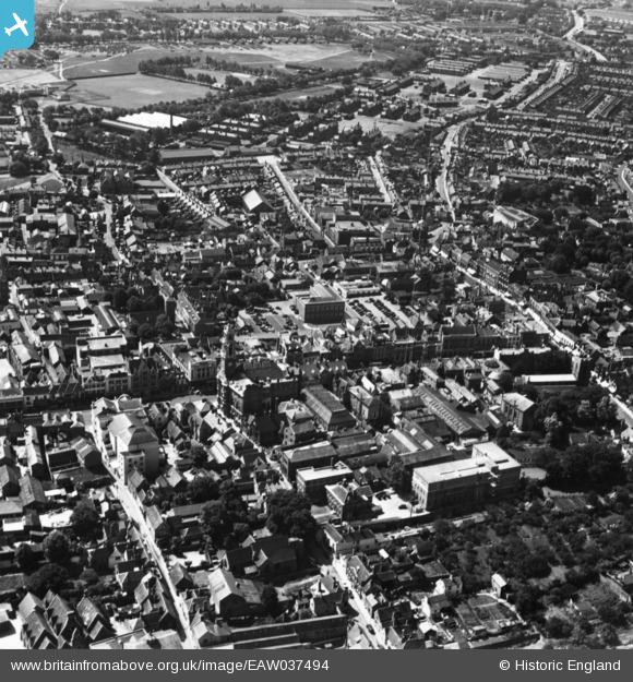
EAW037494 ENGLAND (1951). The town centre, Colchester, 1951. This image has been produced from a print.
© Copyright OpenStreetMap contributors and licensed by the OpenStreetMap Foundation. 2024. Cartography is licensed as CC BY-SA.
Nearby Images (35)
EAW037494

EAW029732

EAW029733

EAW024675

EAW037258

EPW018553

EAW037255

EAW015359

EAW029731

EPW018555

EPW058741

EPW018552

EAW029725

EPW018559

EAW037493

EAW037497

EAW024677

EAW037257

EPW001860

EAW029724

EPW058742

EAW037256

EAW043687

EAW037492

EAW037495

EPW001858

EPW058740

EAW029726

EAW029727

EAW029728

EAW029730

EPW018550

EAW056122

EAW014001

EPW001856

Details
| Title | [EAW037494] The town centre, Colchester, 1951. This image has been produced from a print. |
| Reference | EAW037494 |
| Date | 2-July-1951 |
| Link | |
| Place name | COLCHESTER |
| Parish | |
| District | |
| Country | ENGLAND |
| Easting / Northing | 599525, 225122 |
| Longitude / Latitude | 0.89975819342691, 51.888448771365 |
| National Grid Reference | TL995251 |
Pins
Be the first to add a comment to this image!


