
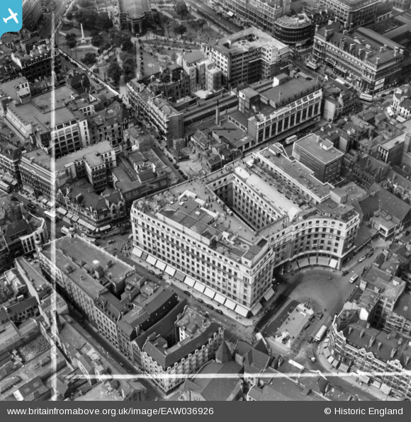
EAW036926 ENGLAND (1951). Lewis's Department Store on Corporation Street, Birmingham, 1951. This image has been produced from a print marked by Aerofilms Ltd for photo editing.
© Copyright OpenStreetMap contributors and licensed by the OpenStreetMap Foundation. 2024. Cartography is licensed as CC BY-SA.
Nearby Images (40)
EAW036926

EAW036918

EAW036921

EAW036925

EAW036919

EAW036923

EAW036922

EAW036920

EAW029417
, Snows Hill Station and environs, Birmingham, from the east, 1950")
EAW036924

EAW013571

EPW037055

EAW029380

EAW029378

EAW013572

EAW026255

EAW013570

EAW029379

EAW029374

EAW029382

EAW029419

EAW013573

EAW029377

EAW029381

EAW013567

EAW029383

EAW029375

EAW029376

EAW029418

EPW041473

EAW029414

EAW013568

EAW029415

EPW053091

EPW005842

EPW048093

EAW001238

EAW001239

EAW035107

EAW015327

Details
| Title | [EAW036926] Lewis's Department Store on Corporation Street, Birmingham, 1951. This image has been produced from a print marked by Aerofilms Ltd for photo editing. |
| Reference | EAW036926 |
| Date | 7-June-1951 |
| Link | |
| Place name | BIRMINGHAM |
| Parish | |
| District | |
| Country | ENGLAND |
| Easting / Northing | 407191, 287092 |
| Longitude / Latitude | -1.8941024765807, 52.481335138151 |
| National Grid Reference | SP072871 |
Pins
Be the first to add a comment to this image!


