
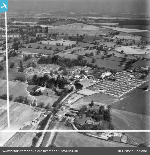
EAW035630 ENGLAND (1951). Clare Hall Hospital and environs, South Mimms, from the south-east, 1951. This image has been produced from a print marked by Aerofilms Ltd for photo editing.
© Copyright OpenStreetMap contributors and licensed by the OpenStreetMap Foundation. 2024. Cartography is licensed as CC BY-SA.
Nearby Images (6)
EAW035630

EAW035635

EAW035632

EAW035631

EAW011952

EAW035637

Details
| Title | [EAW035630] Clare Hall Hospital and environs, South Mimms, from the south-east, 1951. This image has been produced from a print marked by Aerofilms Ltd for photo editing. |
| Reference | EAW035630 |
| Date | 25-April-1951 |
| Link | |
| Place name | SOUTH MIMMS |
| Parish | SOUTH MIMMS |
| District | |
| Country | ENGLAND |
| Easting / Northing | 522014, 200138 |
| Longitude / Latitude | -0.23475791367126, 51.686263402945 |
| National Grid Reference | TL220001 |
Pins
Be the first to add a comment to this image!


