
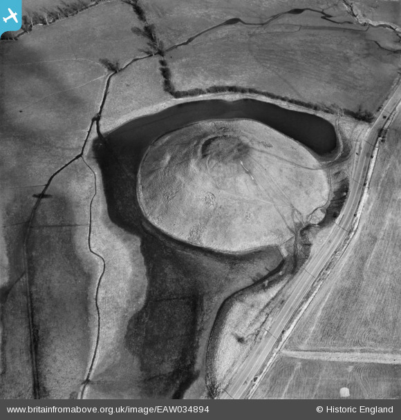
EAW034894 ENGLAND (1951). Silbury Hill, Avebury, 1951
© Copyright OpenStreetMap contributors and licensed by the OpenStreetMap Foundation. 2024. Cartography is licensed as CC BY-SA.
Nearby Images (13)
EAW034894

EAW034896

EAW034895

EAW007043

EAW007045

EAW034893

EAW034892

EAW049149

EAW007044

EAW034891

EAW049148

EAW002275

EAW049150

Details
| Title | [EAW034894] Silbury Hill, Avebury, 1951 |
| Reference | EAW034894 |
| Date | 12-March-1951 |
| Link | |
| Place name | AVEBURY |
| Parish | AVEBURY |
| District | |
| Country | ENGLAND |
| Easting / Northing | 409961, 168535 |
| Longitude / Latitude | -1.8567478073549, 51.415251782681 |
| National Grid Reference | SU100685 |
Pins
Be the first to add a comment to this image!
User Comment Contributions
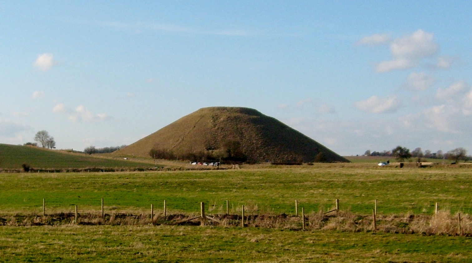 Silbury Hill 28/12/2007 |
 Class31 |
Tuesday 9th of December 2014 03:47:02 PM |


