
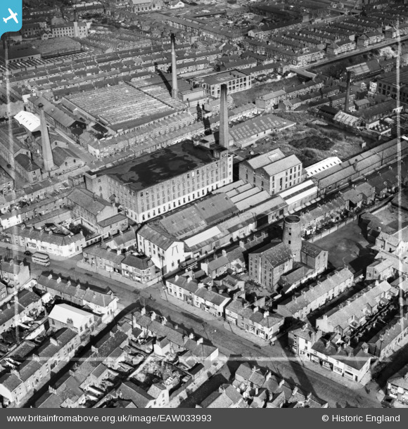
EAW033993 ENGLAND (1950). Park Lane Mill, Preston, 1950. This image was marked by Aerofilms Ltd for photo editing.
© Copyright OpenStreetMap contributors and licensed by the OpenStreetMap Foundation. 2024. Cartography is licensed as CC BY-SA.
Nearby Images (8)
EAW033993

EAW033998

EAW033994

EAW033996

EAW033995

EAW033997

EAW033992

EAW033991

Details
| Title | [EAW033993] Park Lane Mill, Preston, 1950. This image was marked by Aerofilms Ltd for photo editing. |
| Reference | EAW033993 |
| Date | 14-October-1950 |
| Link | |
| Place name | PRESTON |
| Parish | |
| District | |
| Country | ENGLAND |
| Easting / Northing | 354063, 430070 |
| Longitude / Latitude | -2.6969471446269, 53.764733355548 |
| National Grid Reference | SD541301 |
Pins
 ghughesarch |
Wednesday 16th of October 2019 04:48:37 PM | |
Sparky |
Thursday 7th of September 2017 12:07:02 AM | |
Sparky |
Wednesday 6th of September 2017 11:59:09 PM |


