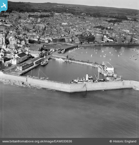
EAW033636 ENGLAND (1950). The dock and town, Penzance, from the south-east, 1950
© Copyright OpenStreetMap contributors and licensed by the OpenStreetMap Foundation. 2024. Cartography is licensed as CC BY-SA.
Nearby Images (5)
EAW033636

EAW033634

EPW059667

EPW059666

EAW033635

Details
| Title | [EAW033636] The dock and town, Penzance, from the south-east, 1950 |
| Reference | EAW033636 |
| Date | 12-October-1950 |
| Link | |
| Place name | PENZANCE |
| Parish | PENZANCE |
| District | |
| Country | ENGLAND |
| Easting / Northing | 147807, 29985 |
| Longitude / Latitude | -5.5281537527625, 50.115653534596 |
| National Grid Reference | SW478300 |
Pins
 redmist |
Thursday 26th of November 2020 02:59:34 PM |