
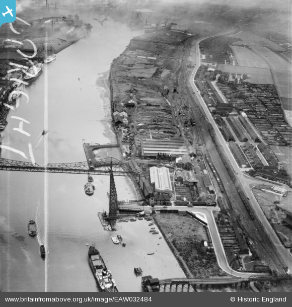
EAW032484 ENGLAND (1950). The Anderston Iron Foundry, Port Clarence, 1950. This image was marked by Aerofilms Ltd for photo editing.
© Copyright OpenStreetMap contributors and licensed by the OpenStreetMap Foundation. 2024. Cartography is licensed as CC BY-SA.
Nearby Images (13)
EAW032484

EAW032476

EAW032485

EAW032482

EAW032477

EAW032481

EAW032480

EAW032483

EAW032479

EAW032478

EPW038894

EAW032536

EAW024127

Details
| Title | [EAW032484] The Anderston Iron Foundry, Port Clarence, 1950. This image was marked by Aerofilms Ltd for photo editing. |
| Reference | EAW032484 |
| Date | 30-August-1950 |
| Link | |
| Place name | PORT CLARENCE |
| Parish | BILLINGHAM |
| District | |
| Country | ENGLAND |
| Easting / Northing | 449905, 521509 |
| Longitude / Latitude | -1.2276955989094, 54.586189709286 |
| National Grid Reference | NZ499215 |


