
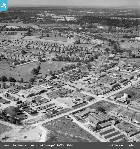
EAW031644 ENGLAND (1950). John Laing and Son Ltd Depot off Chester Road and environs, Borehamwood, from the north-east, 1950
© Copyright OpenStreetMap contributors and licensed by the OpenStreetMap Foundation. 2024. Cartography is licensed as CC BY-SA.
Nearby Images (37)
EAW031644

EAW031638

EAW031642

EAW031634

EAW031643

EAW044305

EAW031635

EAW031636

EAW031639

EAW031633

EAW044306

EAW031637

EAW031641

EAW031640

EAW044446

EAW045742

EAW045740

EAW044447

EAW045741

EAW045739

EAW044310

EAW013430

EAW012434

EAW043031

EAW012436

EAW011794

EAW012442

EAW043029

EAW043030

EAW043027

EAW012439

EAW043032

EAW012435

EAW043028

EAW044451

EAW023316

EAW044449

Details
| Title | [EAW031644] John Laing and Son Ltd Depot off Chester Road and environs, Borehamwood, from the north-east, 1950 |
| Reference | EAW031644 |
| Date | 1-August-1950 |
| Link | |
| Place name | BOREHAMWOOD |
| Parish | ELSTREE AND BOREHAMWOOD |
| District | |
| Country | ENGLAND |
| Easting / Northing | 520746, 196804 |
| Longitude / Latitude | -0.25424621250923, 51.656571360231 |
| National Grid Reference | TQ207968 |
Pins
Be the first to add a comment to this image!


