
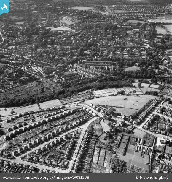
EAW031268 ENGLAND (1950). High Storrs Crescent, the miniature golf course, Porter Brook and environs, Sheffield, 1950
© Copyright OpenStreetMap contributors and licensed by the OpenStreetMap Foundation. 2024. Cartography is licensed as CC BY-SA.
Nearby Images (4)
EAW031268

EAW031269

EAW031270

EAW031267

Details
| Title | [EAW031268] High Storrs Crescent, the miniature golf course, Porter Brook and environs, Sheffield, 1950 |
| Reference | EAW031268 |
| Date | 26-July-1950 |
| Link | |
| Place name | SHEFFIELD |
| Parish | |
| District | |
| Country | ENGLAND |
| Easting / Northing | 431897, 385640 |
| Longitude / Latitude | -1.5205925822596, 53.366399160057 |
| National Grid Reference | SK319856 |
Pins
 tonylathes |
Wednesday 2nd of December 2015 02:23:43 AM | |
tonylathes |
Wednesday 2nd of December 2015 02:23:17 AM | |
tonylathes |
Wednesday 2nd of December 2015 02:22:43 AM |


