
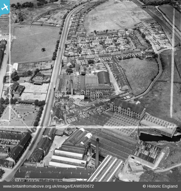
EAW030672 ENGLAND (1950). Branxholme Mill, Bailiff Bridge, 1950. This image was marked by Aerofilms Ltd for photo editing.
© Copyright OpenStreetMap contributors and licensed by the OpenStreetMap Foundation. 2024. Cartography is licensed as CC BY-SA.
Nearby Images (17)
EAW030672

EAW030663

EAW030665

EAW030669

EAW030668

EAW030670

EAW030667

EAW030664

EAW030666

EAW030671

EPW043117

EPW043107

EPW043108

EPW043109

EPW043110

EPW043113

EPW043111

Details
| Title | [EAW030672] Branxholme Mill, Bailiff Bridge, 1950. This image was marked by Aerofilms Ltd for photo editing. |
| Reference | EAW030672 |
| Date | June-1950 |
| Link | |
| Place name | BAILIFF BRIDGE |
| Parish | |
| District | |
| Country | ENGLAND |
| Easting / Northing | 414904, 425337 |
| Longitude / Latitude | -1.7740995115445, 53.724000831666 |
| National Grid Reference | SE149253 |
Pins
Be the first to add a comment to this image!


