
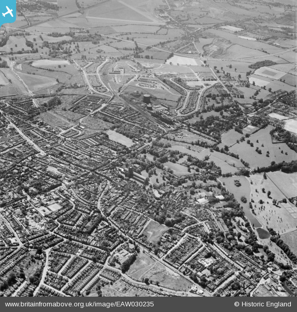
EAW030235 ENGLAND (1950). The city, St Albans, 1950
© Copyright OpenStreetMap contributors and licensed by the OpenStreetMap Foundation. 2024. Cartography is licensed as CC BY-SA.
Nearby Images (7)
EAW030235

EAW030238

EAW030239

EPW001567

EAW027918

EPW001250

EPW025393

Details
| Title | [EAW030235] The city, St Albans, 1950 |
| Reference | EAW030235 |
| Date | 12-June-1950 |
| Link | |
| Place name | ST ALBANS |
| Parish | |
| District | |
| Country | ENGLAND |
| Easting / Northing | 514519, 206722 |
| Longitude / Latitude | -0.34097691877848, 51.74702206518 |
| National Grid Reference | TL145067 |
Pins
Be the first to add a comment to this image!


