
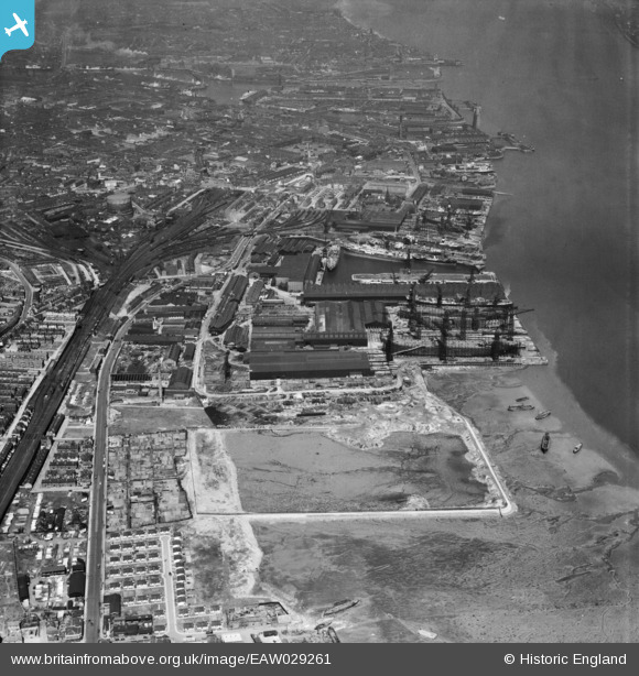
EAW029261 ENGLAND (1950). Cammell Laird and Co Ltd Shipbuilding and Engineering Works, Birkenhead, 1950
© Copyright OpenStreetMap contributors and licensed by the OpenStreetMap Foundation. 2024. Cartography is licensed as CC BY-SA.
Nearby Images (21)
EAW029261

EAW029268

EAW030643

EPW004021

EAW030646

EAW029267

EAW030636

EAW030637

EAW029269

EAW029263

EAW028441

EAW029260

EAW030645

EAW029262

EAW030648

EAW028435

EAW030642

EAW028442

EAW028436

EAW030644

EAW028438

Details
| Title | [EAW029261] Cammell Laird and Co Ltd Shipbuilding and Engineering Works, Birkenhead, 1950 |
| Reference | EAW029261 |
| Date | 11-May-1950 |
| Link | |
| Place name | BIRKENHEAD |
| Parish | |
| District | |
| Country | ENGLAND |
| Easting / Northing | 332886, 387846 |
| Longitude / Latitude | -3.0091162107361, 53.382928337394 |
| National Grid Reference | SJ329878 |
Pins
 Bob Fraser |
Monday 10th of March 2014 06:36:14 PM |


