
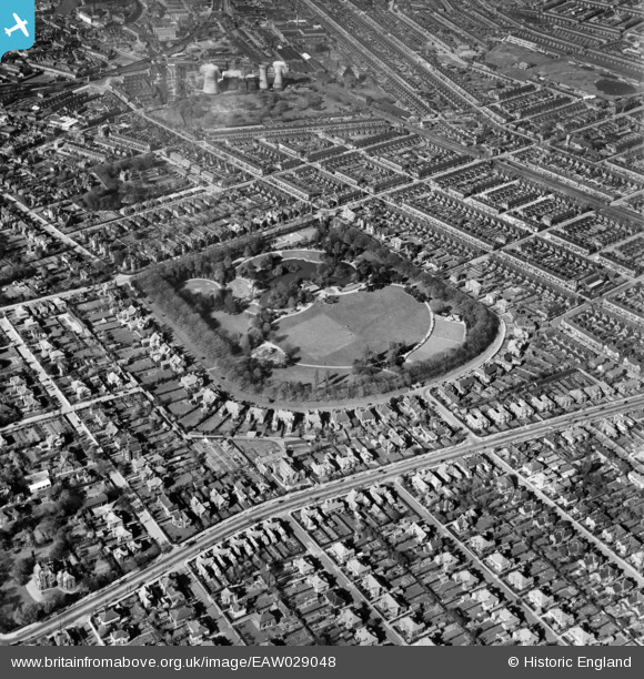
EAW029048 ENGLAND (1950). People's Park, Wellow, 1950
© Copyright OpenStreetMap contributors and licensed by the OpenStreetMap Foundation. 2024. Cartography is licensed as CC BY-SA.
Nearby Images (8)
EAW029048

EAW029046

EAW029043

EAW029044

EAW029045

EAW029047

EPW012670

EPW012671

Details
| Title | [EAW029048] People's Park, Wellow, 1950 |
| Reference | EAW029048 |
| Date | 10-May-1950 |
| Link | |
| Place name | WELLOW |
| Parish | |
| District | |
| Country | ENGLAND |
| Easting / Northing | 526976, 408322 |
| Longitude / Latitude | -0.082953297455214, 53.555898282329 |
| National Grid Reference | TA270083 |
Pins
Be the first to add a comment to this image!


