
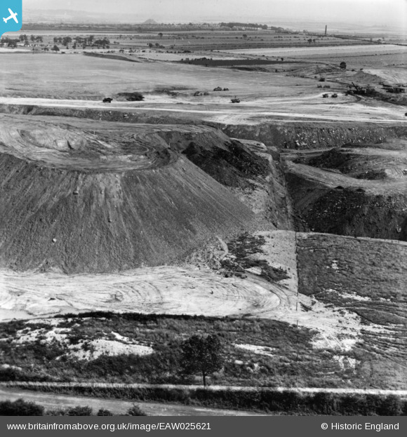
EAW025621 ENGLAND (1949). Billingley, Open Cast Coal Quarry south of the village, 1949. This image has been produced from a print.
© Copyright OpenStreetMap contributors and licensed by the OpenStreetMap Foundation. 2024. Cartography is licensed as CC BY-SA.
Nearby Images (9)
EAW025620

EAW025621

EAW025616

EAW025613

EAW025612

EAW046557

EAW025614

EAW046559

EAW046556

Details
| Title | [EAW025621] Billingley, Open Cast Coal Quarry south of the village, 1949. This image has been produced from a print. |
| Reference | EAW025621 |
| Date | 4-August-1949 |
| Link | |
| Place name | BILLINGLEY |
| Parish | |
| District | |
| Country | ENGLAND |
| Easting / Northing | 433474, 403993 |
| Longitude / Latitude | -1.4949381819112, 53.531280236236 |
| National Grid Reference | SE335040 |
Pins
User Comment Contributions
We are looking broadly east. |
 Class31 |
Saturday 1st of November 2014 11:04:47 AM |


