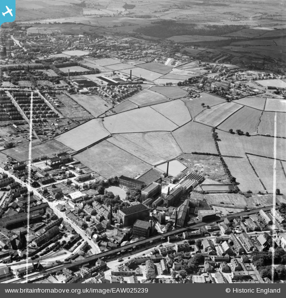
EAW025239 ENGLAND (1949). The Leigh Worsted Mills and the surrounding area, Pudsey, 1949. This image was marked by Aerofilms Ltd for photo editing.
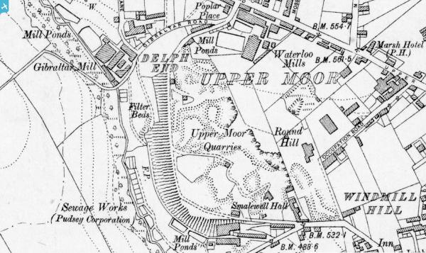
© Copyright OpenStreetMap contributors and licensed by the OpenStreetMap Foundation. 2024. Cartography is licensed as CC BY-SA.
Nearby Images (13)
EAW025239

EAW025230

EAW025231

EAW025236

EAW025234

EAW031367

EAW031366

EAW031365

EAW031364

EAW031368

EAW025233

EAW031369

EAW025235

Details
| Title | [EAW025239] The Leigh Worsted Mills and the surrounding area, Pudsey, 1949. This image was marked by Aerofilms Ltd for photo editing. |
| Reference | EAW025239 |
| Date | 26-July-1949 |
| Link | |
| Place name | PUDSEY |
| Parish | |
| District | |
| Country | ENGLAND |
| Easting / Northing | 421815, 433944 |
| Longitude / Latitude | -1.6687424984434, 53.801125193923 |
| National Grid Reference | SE218339 |