
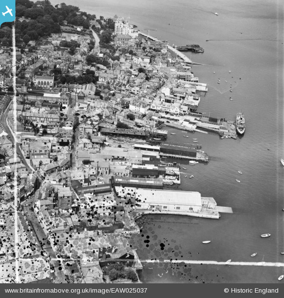
EAW025037 ENGLAND (1949). The High Street and waterfront, Cowes, 1949. This image was marked by Aerofilms Ltd for photo editing.
© Copyright OpenStreetMap contributors and licensed by the OpenStreetMap Foundation. 2024. Cartography is licensed as CC BY-SA.
Nearby Images (13)
EAW025037

EPW023051

EAW025039

EAW025043

EAW025040

EAW025042

EPW023046

EAW025044

EAW025038

EPW022954

EAW025045

EAW025041

EPW023047

Details
| Title | [EAW025037] The High Street and waterfront, Cowes, 1949. This image was marked by Aerofilms Ltd for photo editing. |
| Reference | EAW025037 |
| Date | 23-July-1949 |
| Link | |
| Place name | COWES |
| Parish | COWES |
| District | |
| Country | ENGLAND |
| Easting / Northing | 449667, 96057 |
| Longitude / Latitude | -1.295720811949, 50.761408216814 |
| National Grid Reference | SZ497961 |


