
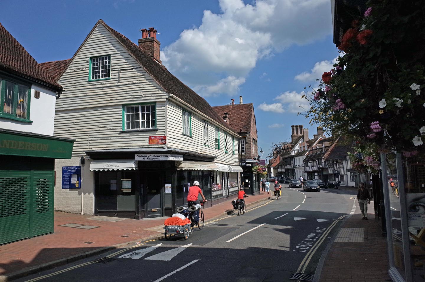
EAW024786 ENGLAND (1949). The town centre, East Grinstead, 1949

© Copyright OpenStreetMap contributors and licensed by the OpenStreetMap Foundation. 2024. Cartography is licensed as CC BY-SA.
Nearby Images (5)
EAW024786

EAW024791

EAW024789

EAW024790

EAW024787

Details
| Title | [EAW024786] The town centre, East Grinstead, 1949 |
| Reference | EAW024786 |
| Date | 12-July-1949 |
| Link | |
| Place name | EAST GRINSTEAD |
| Parish | EAST GRINSTEAD |
| District | |
| Country | ENGLAND |
| Easting / Northing | 539388, 138204 |
| Longitude / Latitude | -0.0078969526435208, 51.125608792846 |
| National Grid Reference | TQ394382 |
Pins
 David Posnett |
Sunday 15th of March 2020 10:31:47 AM |
User Comment Contributions
 East Grinstead |
 Alan McFaden |
Monday 29th of September 2014 11:01:06 AM |
 East Grinstead |
Alan McFaden |
Monday 29th of September 2014 11:00:44 AM |


