
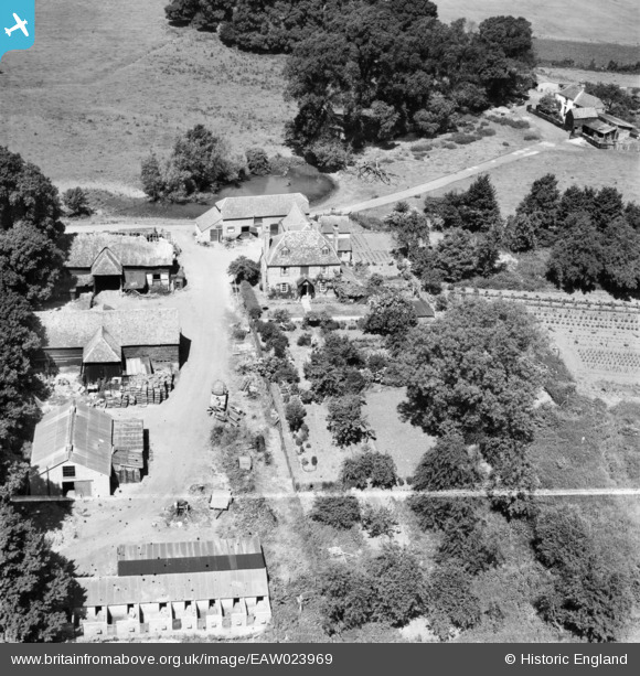
EAW023969 ENGLAND (1949). Manor Farm, Eton Wick, 1949. This image was marked by Aerofilms Ltd for photo editing.
© Copyright OpenStreetMap contributors and licensed by the OpenStreetMap Foundation. 2024. Cartography is licensed as CC BY-SA.
Nearby Images (4)
EAW023969

EAW023970

EAW023971

EAW023968

Details
| Title | [EAW023969] Manor Farm, Eton Wick, 1949. This image was marked by Aerofilms Ltd for photo editing. |
| Reference | EAW023969 |
| Date | 23-June-1949 |
| Link | |
| Place name | ETON WICK |
| Parish | ETON |
| District | |
| Country | ENGLAND |
| Easting / Northing | 495410, 178919 |
| Longitude / Latitude | -0.62528704700634, 51.500662119271 |
| National Grid Reference | SU954789 |
Pins
Be the first to add a comment to this image!


